Northeast Ohio Property Search by County | 2026 Records

Northeast Ohio Property Search By Counties

Search

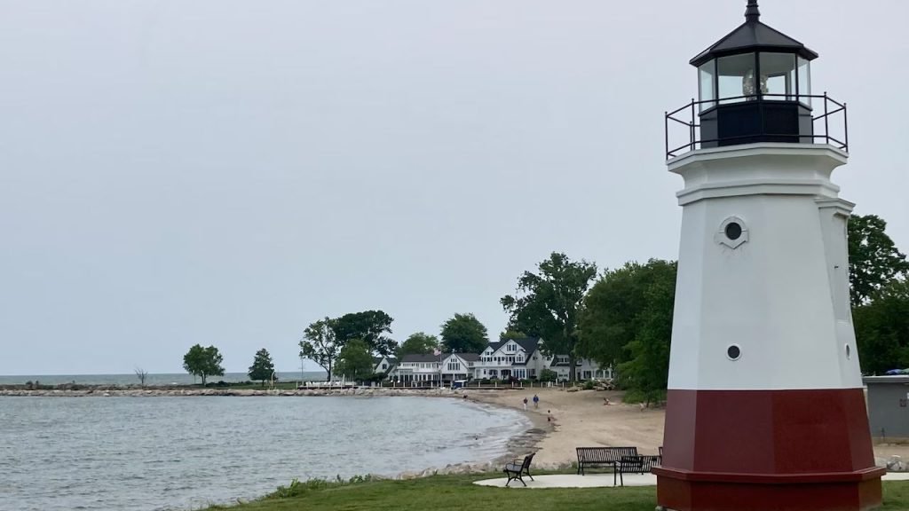
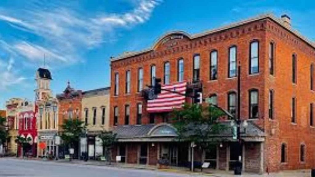
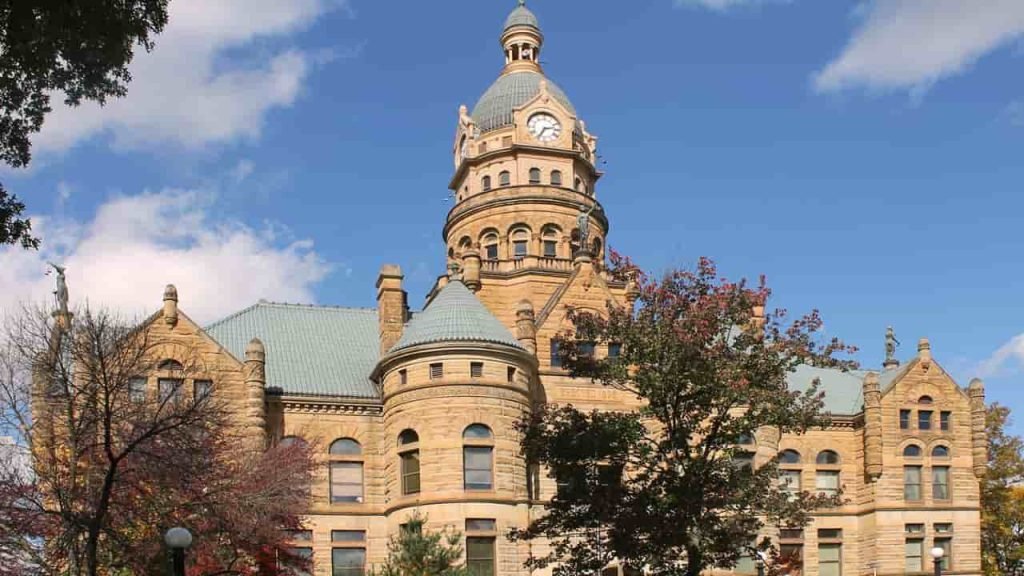
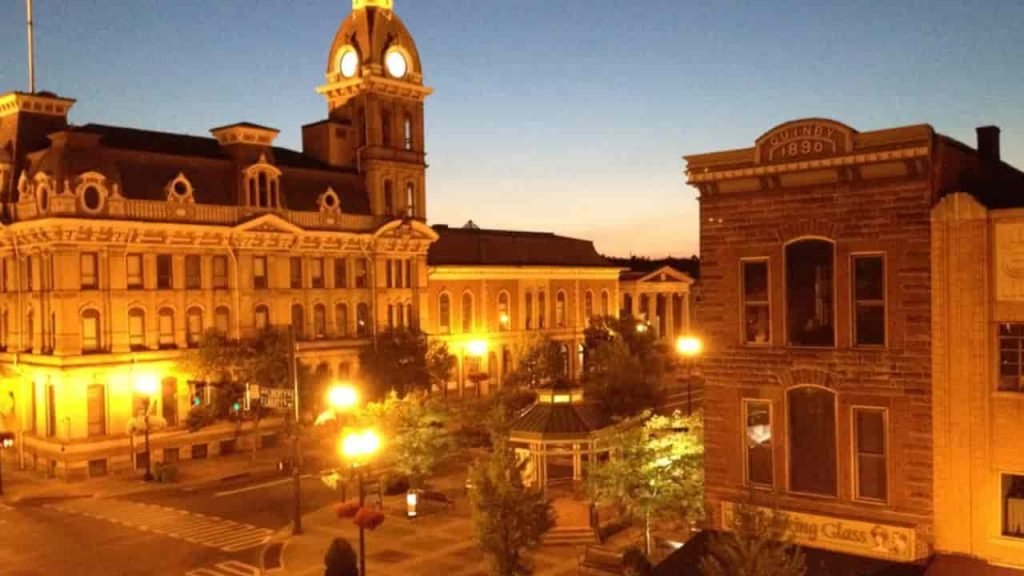
Northeast Ohio is a dynamic region combining major metropolitan areas, suburban neighborhoods, and scenic rural communities. From Cleveland’s urban centers to the quiet townships of Ashtabula and Trumbull counties, this region offers a wide variety of property types including residential, commercial, and agricultural lands.

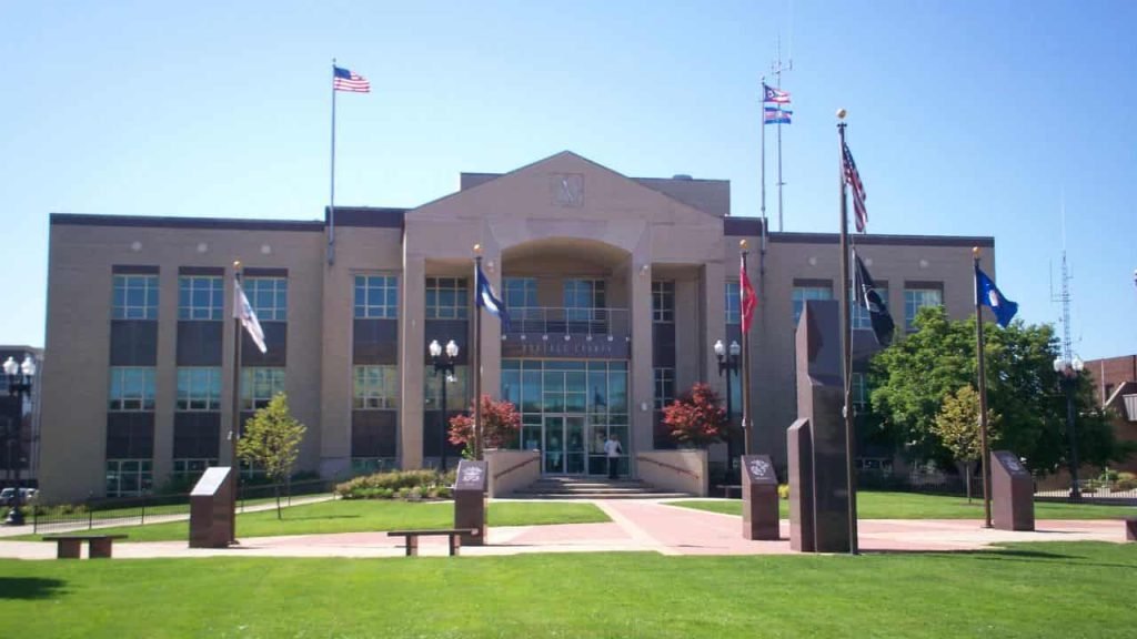
Our Northeast Ohio property search hub allows users to access 2026 county-level property records, including auditor data, parcel maps, ownership information, tax assessments, sales history, and valuation updates. Whether you are a homeowner, real estate investor, researcher, or agent, this page helps you quickly find accurate and official property information for every county in Northeast Ohio.

List of Northeast Ohio Counties & Their Property Search Highlights

Ashland County Ohio Property Search page illustration showing county map, real estate parcels, and auditor records used for finding property details, assessments, and ownership information online.

Ashland County

Ashtabula County Ohio Property Search feature image displaying county map outline, land parcels, and auditor record elements used for accessing property ownership, assessments, and real estate information online.

Ashtabula County

Carroll County Ohio Property Search feature image showing the county map outline, local land parcels, and auditor record icons representing online access to property ownership, assessed values, and real estate information.

Carroll County

Cuyahoga County Ohio Property Search feature image showing the county map outline, Cleveland area parcels, and auditor record graphics used to locate property ownership, assessed values, tax details, and real estate information online.

Cuyahoga County

Columbiana County Ohio Property Search feature image displaying the county map outline, land parcel markers, and auditor record icons used to access property ownership details, assessed values, tax information, and real estate data online.

Columbiana County

Erie County Ohio Property Search feature image showing the county map outline, Sandusky area parcels, and auditor record elements used to access property ownership details, assessed values, tax data, and real estate information online.

Erie County

Geauga County Ohio Property Search feature image showing the county map outline, local land parcels, and auditor record icons used to access property ownership details, assessed values, tax data, and real estate information online.

Geauga County

Harrison County Ohio Property Search feature image showing the county map outline, rural land parcels, and auditor record icons used to look up property ownership details, assessed values, tax information, and real estate data online.

Harrison County

Huron County Ohio Property Search feature image showing the county map outline, local land parcels, and auditor record icons for accessing property ownership, assessed values, tax information, and real estate details online.

Huron County

Jefferson County Ohio Property Search feature image showing the county map outline, local land parcels, and auditor record icons for accessing property ownership details, assessed values, tax information, and real estate data online.

Jefferson County

Lake County Ohio Property Search feature image showing the county map outline, local land parcels, and auditor record icons used to access property ownership details, assessed values, tax information, and real estate data online.

Lake County

Lorain County Ohio Property Search feature image showing the county map outline, local land parcels, and auditor record icons used to access property ownership details, assessed values, tax information, and real estate data online.

Lorain County

Mahoning County Ohio Property Search feature image showing the county map outline, Youngstown area parcels, and auditor record icons used to access property ownership details, assessed values, tax information, and real estate data online.

Mahoning County

Medina County Ohio Property Search feature image showing the county map outline, local land parcels, and auditor record icons used to access property ownership details, assessed values, tax information, and real estate data online.

Medina County

Portage County Ohio Property Search feature image showing the county map outline, local land parcels, and auditor record icons used to access property ownership details, assessed values, tax information, and real estate data online.

Portage County

Richland County Ohio Property Search feature image showing the county map outline, Mansfield area land parcels, and auditor record icons used to access property ownership details, assessed values, tax information, and real estate data online.

Richland County

Stark County Ohio Property Search feature image showing the county map outline, Canton and North Canton area land parcels, and auditor record icons used to access property ownership details, assessed values, tax information, and real estate data online.

Stark County

Summit County Ohio Property Search feature image showing the county map outline, Akron area land parcels, and auditor record icons used to access property ownership details, assessed values, tax information, and real estate data online.

Summit County

Trumbull County Ohio Property Search feature image showing the county map outline, Warren area land parcels, and auditor record icons used to access property ownership details, assessed values, tax information, and real estate data online.

Trumbull County

Tuscarawas County Ohio Property Search feature image showing the county map outline, local land parcels, and auditor record icons used to access property ownership details, assessed values, tax information, and real estate data online.

Tuscarawas County

Wayne County Ohio Property Search feature image showing the county map outline, local land parcels, and auditor record icons used to access property ownership details, assessed values, tax information, and real estate data online.

Wayne County

Why Northeast Ohio Property Records Matter

Northeast Ohio features major urban growth, suburban expansion, and rural land opportunities. Accessing official property records ensures that:

  • Homebuyers can verify property ownership and value

  • Investors can evaluate market opportunities and trends

  • Sellers can confirm assessment values and taxes

  • Researchers can study zoning, land use, and property characteristics

All 2026 property records are up-to-date and sourced from official county auditor systems.

Conclusion

Northeast Ohio is a diverse real estate region offering extensive access to 2026 property records by county. From Cleveland’s urban neighborhoods to the rural charm of Holmes and Carroll counties, this page serves as your one-stop hub for property searches, parcel maps, ownership lookup, and tax assessments.

Select your county above to start exploring property data today.

FAQ's

Are property records in Northeast Ohio free to access?

Yes. All counties provide public access to auditor and GIS property data at no cost.

Ownership details, tax assessment, parcel maps, sales history, building characteristics, and valuation data.

Most counties update annually. Some perform reappraisals on a triennial schedule.

No. Each county has its own auditor portal and GIS tools, but this page links all for easy navigation.

Scroll to Top